Virtual Orienteering Courses – Parks
Off-road orienteering activities – participate for free at a time that suits you.
37-second Intro – British Orienteering have produced this great little video and an explanation of these activities, also known as Virtual Orienteering Courses.
Overview – Perhaps you’ve tried one or more of our Street-O courses and you’re looking for something more like “proper”, “forest” orienteering. We’ve set up a few courses in local parkland where you can run using your phone using the MapRun6 app. Courses have been risk-assessed. For your safety you must read the pre-read information, and any additional safety information on the map.
Not sure how to get started? Try this MapRun quick start guide. Then print out a physical map from the “Map” link in the tables below. It’s A4 and ideally printed double-sided. The map itself is on one side and further information on the other. Note that the Heartwood control descriptions are also on the ‘information’ side of the map.
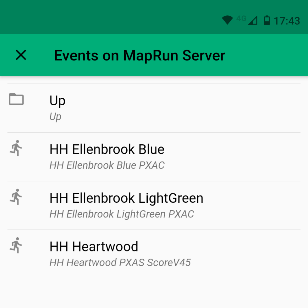
Where? See all our MapRun events on a map. This includes our urban Virtual Orienteering Courses as well.
Score courses – Visit as many controls as you can and return to your start point within 45 minutes. Score 20 points per control, -10 points per minute or part minute late. Time taken is used as a tiebreaker.
| Location | Postcode | Time | Map | Results |
| Heartwood | AL4 9DG | 45 minutes | Map | Results & routes |
Line courses – Visit the controls in order, starting at the triangle and finishing at the double circle. If you visit one out of order, don’t worry, just go back to the one(s) you missed and carry on. But don’t visit the finish too early because that will end your run!
| Location | Postcode | Course | Distance | Map | Results |
| Ellenbrook | AL10 9LS | Light Green | 4.3 km | Map | Results & routes |
| Ellenbrook | AL10 9LS | Blue | 6.6 km | Map | Results & routes |
EITHER Search in the MapRun6 app (before leaving home if you aren’t data-enabled) for the event (all are prefixed with “HH” and are under UK / Hertfordshire / Park-O).
OR Run with your GPS watch or other device. A phone running Strava, MapMyRun etc is fine, but you won’t get the beeps MapRun gives when you get to the control. For watch GPS traces you can upload these via the MapRun interface at https://www.p.fne.com.au/#/gpsupload. You’ll need to save your trace as GPX.
Check out how others got on through the “Results” link in the above table.
Some more detailed guidance about using MapRun6 is available at our Wiki and there’s also a generic MapRun quick start guide.